Wednesday, April 9, 2014

Cartograms

http://www-personal.umich.edu/~mejn/election/2008/
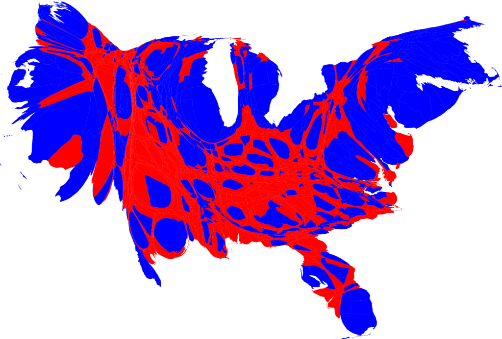
Cartograms 
Cartograms are maps that alter the distance or area of geographic locations.  The maps are altered to signify certain variables.  These variables may include travel time, therefore the area being mapped may be enlarged or minimized in accordance with the time it takes to travel to a certain place.  

Flow Maps

http://www.improving-visualisation.org/visuals/tag=flow+map

Flow Maps
 Flow maps are used to show movement through the use of lines and writing.  The lines may connect ideas within ones brain or data on geographic areas.  Flow maps are often used to expose the migration trends of   people and trade between countries.

Isoline Maps

http://mapanalysisib.blogspot.com/2013/07/us-temperature-isoline-map.html

Isoline Map 
Isoline maps are used to display points of equality through the use of lines.  The points may represent atmospheric pressure, water pressure, and temperature.  These maps are often used in weather forecasts.  

Monday, April 7, 2014

Proportional Circle Maps

http://crw08d.blogspot.com/2011/03/proportional-circle-maps.html

Proportional Circle Map
Proportional circle maps are used to show a numerical statistic for information.  The circles vary in size in accordance with the numerical quantity.  These maps may have different colored circles to represent different sets of data within the same map.  

Choropleth Maps


http://my.ilstu.edu/~jrcarter/Geo204/Choro/Laura/

Choropleth Maps
Choropleth maps use different shades of color to display a certain statistic in a region.  What the map is measuring can vary from socioeconomic levels to an animals population in a certain area.  The regions that encompass a certain shade can vary greatly in size.

Dot Distribution Maps

http://lewishistoricalsociety.com/wiki2011/tiki-read_article.php?articleId=6

Dot Distribution Map 
Dot distribution maps are used to represent spatial data through the use of dots.  These dots are used to mark certain features in space.  By doing this spatial patterns are created which may be clustered or dispersed.  Cellular companies often use these maps to show where cell phone towers are in order to show a customer their service ranges.

Propaganda Maps

http://neatmap.blogspot.com/2011/04/propaganda-map-ronald-reagans-world.html

Propaganda Map 
Propaganda maps are those in which use propaganda through map form.  The information on these maps is many times not true.  The maps are used to persuade people and are often successful because in most cases people believe that maps must be concrete in their validity.